Please see my main site ANTIQUEPRINTS.COM For original antique prints and maps
Charing Cross - 1837
Home » Topographical prints (named places) » England, prints and county maps >>> » Shropshire, antique prints and maps
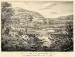
Shropshire(?), Village & Mill of Strousbarne, 1824. "Village & Mill of Strousbarne" stone lithograph by F.Calvert after a picture by Samuel Ireland, published in Picturesque Views of the Severn, 1824. Very good condition. Size 16.5 x 12.5 cms including title, plus good margins. Ref E8000
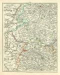
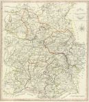
Shropshire, Herefordshire and part of Wales, 1794. [ Shropshire, Herefordshire & part of Wales ] sheet 31 from Cary's New Map of England and Wales with part of Scotland, published in 1794. Includes Shrewsbury, Church Stretton, Knighton, Ludlow, Kington, leominster, Bromyard, Hay and Hereford. Copper engraved antique map with original hand colour. Size 21 x 26 cms plus good margins. Ref E7698
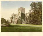
Shropshire, Downton Hall, 1880. "Downton Hall" colour woodblock print published in Morris's County Seats ..., about 1880. Good condition. Size 19.5 x 16 cms plus title and margins. Ref E7462
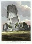
Shropshire, Part of Bridgenorth Castle, 1811. "Part of Bridgenorth Castle, Salop." drawn and etched by J.Smith, published in Relics of Antiquity 1811. Copper engraved antique print with recent hand colour. Good condition with full plate mark and good margins. Size 15 x 21.5 cms including title, plus margins. Ref E7077
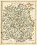
Shropshire, 1807. "Shropshire" engraved by J.Roper from a drawing by G.Cole, published in The British Atlas, 1810 (map dated 1808.) Copper engraved map with original hand colour. Good condition with good margins. Size 17.5 x 23.5 cms. Ref E6794
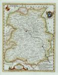
Shropshire, Kitchin/Hogg, 1786. "Shropshire" by Thomas Kitchin, published by Alex Hogg in 1786. Copper engraved antique map with recent hand colour. Full plate mark and wide margins. Size 17 x 22 cms plus margins. Ref E6057
Shropshire, Combermere Abbey, 1880. "Combermere Abbey" chromolithograph published in Morris's County Seats ..., about 1880. Good condition. Size 18.5 x 13 cms plus title and margins. Ref E4587
Shropshire, Cary, 1809. "Shropshire" by John Cary. Copper engraved map with original hand colouring published in the 1809 edition of Cary's New and Correct English Atlas. Partial plate mark and good margins. Slightly age browned and foxed, small stain lower left. Size 26.5 x 21.5 cms. Ref E3267
Shropshire, large map, 1805. "A Map of Shropshire from the Best Authorities" engraved by John Cary and published by John Stockdale in 1805. Copper engraved map with original hand colour. Several (flattened) folds as published and close trimmed within 1 cm of left and right neatlines, otherwise good condition with good margins. Size 42.5 x 49.5 cms. Ref E384
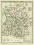
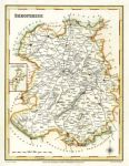
Shropshire, 1831. "Shropshire"engraved by J & C Walker, published Lewis' Topographical Dictionary, 1831. Steel engraved map with recent hand colour. Good condition with good margins. Size 17.5 x 23 cms. Ref E382
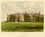
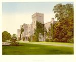
Shropshire, Downton Hall, 1890. "Downton Hall" (near Ludlow) chromolithograph published in Morris's County Seats ..., about 1880. Good condition. Size 19 x 14 cms. Ref D9940
Shropshire, Pinnock, 1833. "Shropshire" White on black wood engraved print by John Archer, published by William Pinnock in 1833. Good condition. Size 16.5 x 22.5 cms. Ref D3008
Shropshire, Park Hall near Oswestry, 1836. "Park Hall" drawn on stone by W. Walton after a sketch by Ewan Christian, published in The Ancient Half-Timbered Houses of England by M. Habershom, 1836. Stone lithograph with recent hand colour. Size 25.5 x 17.5 cms. Ref C6962
© 2003 - 2020 Website copyright Steve Bartrick Royalty free stock images of antique prints of interest to historians, students and family history researchers