Home » Topographical prints (named places) » England, prints and county maps >>> » Huntingdon & Rutland

 
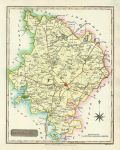
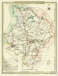
Huntingdonshire, 1818

Huntingdonshire, 1818.
"Huntingdonshire" engraved by Neele and published by J.Robins & Co., 1818. Copper engraved map with full original hand colour. Size 19.5 x 25 cms plus margins. Ref F550

 
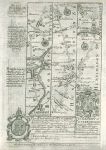
Bedford / Huntingdon, route map with Tamesford, St.Neotts, Stilton and Peterborough, 1764

Bedford / Huntingdon, route map with Tamesford, St.Neotts, Stilton and Peterborough, 1764.
[ Route map with Tamesford, St.Neotts, Stilton and Peterborough ] by Emanuel Bowen after the earlier survey by John Ogilby, and published by John Owen in Britannia Depicta ..., 1764. On the verso is part of a description of London. Copper engraved map. Size 12 x 18 cms plus margins. Ref F299

 
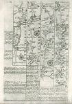
Huntingdon / Northamptonshire, route map with St.Neots, Catworth Magna and Oakham, 1764

Huntingdon / Northamptonshire, route map with St.Neots, Catworth Magna and Oakham, 1764.
[ Route map with Tamesford, St.Neots, Catworth Magna and Oakham ] by Emanuel Bowen after the earlier survey by John Ogilby, and published by John Owen in Britannia Depicta ..., 1764. On the verso is part of a route through High Barnet, Hatfield, Baldock and Biggleswade. Copper engraved map. Size 12 x 18 cms plus margins. Ref F294


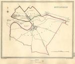
Huntingdon plan, 1835

Huntingdon plan, 1835.
[ Huntingdon ] engraved by J. & C. Walker after plans by R.Creighton, published in Samuel Lewis's Topographical Dictionary of England, 1835. The plans were originally produced by Creighton to illustrate the 'former and present' boundaries of cities and boroughs in relation to the great Reform Act of 1832. Steel engraved antique map with original hand colour, coded to show the old and new boundaries. Slight foxing. Size 23.5 x 19 cms plus margins. Ref E7857

 
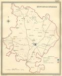
Huntingdonshire, electoral map, 1835

Huntingdonshire, electoral map, 1835.
"Huntingdonshire" engraved by J & C Walker after R. Creighton, published by Samuel Lewis in his Topographical Dictionary of England, 1835. Plain steel engraved antique map showing electoral divisions, places of election, polling places and the Borough Towns entitled to return Members of Parliament. Original hand colour. Slight foxing. Size 19 x 23.5 cms plus good margins. Ref E7856

 
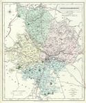
Huntingdonshire, 1862

Huntingdonshire, 1862.
"Huntingdonshire" by J & C Walker, published in the British Atlas, 1865 edition. Steel engraved map with original hand colour. This edition has the prominent addition of the railways. Centrefold as published. Slight damage along the centrefold with pinprock holes. Size 32 x 39.5 cms plus margins. Ref E7724


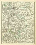
Huntingdon, with parts of Cambridgeshire, Bedfordshire and Northampton, 1794

Huntingdon, with parts of Cambridgeshire, Bedfordshire and Northampton, 1794.
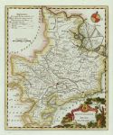
[ Huntingdon, with parts of Cambridgeshire, Bedfordshire and Northampton ] sheet 34 from Cary's New Map of England and Wales with part of Scotland, published in 1794. Includes Stamford, Peterborough, Thrapston, Ramsey, Wisbeach, Ely, Cambridge, Biggleswade and Royston. Copper engraved antique map with original hand colour. Size 21 x 26 cms plus good margins. Ref E7695

 
Huntingdonshire, Cole & Roper, 1806

Huntingdonshire, Cole & Roper, 1806.
"Huntingdonshire" engraved by J.Roper from a drawing by G.Cole, published in The British Atlas, 1810 (map dated 1806.) Copper engraved map with original hand colour. Good condition with good margins. Size 23 x 17.5 cms. Ref E4333

 
Huntingdonshire, Kimbolton Castle, 1880

Huntingdonshire, Kimbolton Castle, 1880.
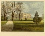
"Kimbolton Castle" chromolithograph published in Morris's County Seats ..., about 1880. Good condition. Size 18.5 x 13 cms plus title and margins. Ref E4228


Huntingdonshire, Moule 1st edition, 1837

Huntingdonshire, Moule 1st edition, 1837.
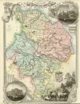
" Huntingdonshire " engraved by W.Schmollinger(?), published in Thomas Moule's English Counties ..., 1837. Steel engraved map with original hand colour. Very scarce in this first state. Lower margin close trimmed with loss of engraver's inscription, otherwise good condition. Size 20 x 27 cms. Ref E2648

 
Huntingdonshire, Cary, 1809

Huntingdonshire, Cary, 1809.
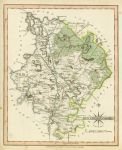
"Huntingdonshire" by John Cary. Copper engraved map with original hand colouring published in the 1809 edition of Cary's New and Correct English Atlas. Good condition with good margins. Very slightly age browned. Size 21.5 x 26.5 cms. Ref E1607

 
Huntingdon, Kitchin/Hogg, 1786

Huntingdon, Kitchin/Hogg, 1786.
"Huntingdonshire" by Thomas Kitchin, published by Alex Hogg in 1786. Copper engraved map with recent hand colour. Full plate mark and wide margins. Size 18 x 22 cms. Ref E1384


Huntingdonshire, 1846

Huntingdonshire, 1846.
"Huntingdonshire" engraved by Sidney Hall, published in A Travelling County Atlas, 1846. Steel engraved map with original hand colour. Centre-fold as published. Slightly foxed. Size 25 x 19 cms. Ref D1624

 
Huntingdonshire, Cottages at Brampton park, 1836

Huntingdonshire, Cottages at Brampton park, 1836.
"Cottages and Village Reading Room, Brampton Park" drawn on stone by M. Habershom, published in The Ancient Half-Timbered Houses of England by M. Habershom, 1836. Stone lithograph with recent hand colour. Text on reverse of page, and slight age browning. Size 18.5 x 12 cms. Ref C6929


« Previous | 1 | 2 | Next »


© 2003 - 2020 Website copyright Steve Bartrick
Royalty free stock images of antique prints of interest to historians, students and family history researchers