Home » Antique maps » All prints and maps

 
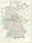
Germany large map, 1856

Germany large map, 1856.
"Germany" by Sidney Hall, published in Black's General Atlas, 1856. Lithographic map with original hand colouring. Centrefold as published, good condition. Size 37 x 50 cms plus margins. Ref F7798

 
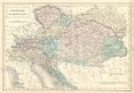
Austrian Dominions map, 1856

Austrian Dominions map, 1856.
"Austrian Dominions" by Sidney Hall, published in Black's General Atlas, 1856. Lithographic map with original hand colouring. Very slight foxing, otherwise good condition. Size 38 x 26 cms plus margins. Ref F7797

 
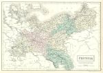
Prussia map, 1856

Prussia map, 1856.
"Prussia" by Sidney Hall, published in Black's General Atlas, 1856. Lithographic map with original hand colouring. Very slight foxing, otherwise good condition. Size 37.5 x 26.5 cms plus margins. Ref F7796


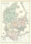
Denmark map, 1856

Denmark map, 1856.
"Denmark" by Sidney Hall, published in Black's General Atlas, 1856. Lithographic map with original hand colouring. Very slight foxing, otherwise good condition. Size 26 x 38 cms plus margins. Ref F7795

 
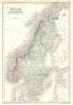
Sweden & Norway map, 1856

Sweden & Norway map, 1856.
"Sweden & Norway" by Sidney Hall, published in Black's General Atlas, 1856. Lithographic map with original hand colouring. Very slight foxing, otherwise good condition. Size 26 x 38 cms plus margins. Ref F7794

 
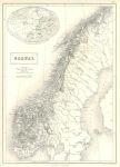
Norway map, 1856

Norway map, 1856.
"Norway" by J.Bartholomew, published in Black's General Atlas, 1856. Lithographic map with small amount of original hand colouring showing the permanent snowfields. Very slight foxing, otherwise good condition. Size 27 x 38 cms plus margins. Ref F7793


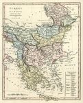
Turkey in Europe (Balkans), 1809

Turkey in Europe (Balkans), 1809.
"Turkey in Europe Drawn from many Astronomical Observations and Surveys" copper engraved map published by Robert Wilkinson in Wilkinson's General Atlas of the World, 1809. With full original hand colouring. Good condition with wide margins. Size 22 x 27.5 cms plus margins. Ref F7704

 
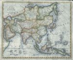
Asia map, 1780

Asia map, 1780.
"Asia from the Best Authorities; Eng for Brooke's Gazetteer" engraved by Kirkwood & Sons, published about 1780. Copper engraved map with recent hand colour. On thin paper, some creasing. Size 23 x 19 cms plus margins. Ref F7703

 
Netherlands map (with Belgium), 1828

Netherlands map (with Belgium), 1828.
"Kingdom of the Netherlands" engraved by A.Findlay, published in London by Thomas Kelly in New System of Universal Geography, 1828. Copper engraved map with recent hand colour. Two (flattened) horizontal folds as published. Good condition. Size 24 x 36.5 cms plus margins. Ref F7702


Prussia map, 1828

Prussia map, 1828.
"Prussia" anonymous engraver, published in London by Thomas Kelly in New System of Universal Geography, 1828. Copper engraved map with recent hand colour. Two (flattened) vertical folds as published. Good condition. Size 40.5 x 25 cms plus margins. Ref F7701

 
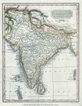
India map, 1828

India map, 1828.
"Hindoostan" (India) engraved by A.Findlay, published in London by Thomas Kelly in New System of Universal Geography, 1828. Copper engraved map with recent hand colour. Good condition. Size 19 x 25 cms plus margins. Ref F7700

 
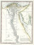
Egypt map, 1828

Egypt map, 1828.
"Egypt" anonymous engraver, published in London by Thomas Kelly in New System of Universal Geography, 1828. Copper engraved map with recent hand colour. Good condition. Size 18 x 24 cms plus margins. Ref F7699


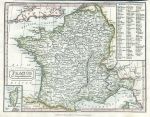
France, in Departments, 1828

France, in Departments, 1828.
"France in Departments" anonymous engraver, published in London by Thomas Kelly in New System of Universal Geography, 1828. Copper engraved map with recent hand colour. Narrow upper margin. Size 24.5 x 18.5 cms plus margins. Ref F7698

 
Russia, Kamchatka, 1856

Russia, Kamchatka, 1856.
"Kamchatka according to A.Erman" by Petermann & G.H.Swanston, published by A. Fullarton & Co. in Gazetteer of the World, 1856. Steel engraved map with delicate original hand colour. Size 14 x 23.5 cms plus margins. Ref F7697

 
Kazakhstan & Uzbekistan, the Aral Sea, 1856

Kazakhstan & Uzbekistan, the Aral Sea, 1856.
"The Aral Sea according to Khanikoff" by Petermann & G.H.Swanston, published by A. Fullarton & Co. in Gazetteer of the World, 1856. Steel engraved map with delicate original hand colour. Size 14 x 23 cms plus margins. Ref F7696


Cape Verde Islands, 1856

Cape Verde Islands, 1856.
"Cape Verd Islands" drawn and engraved by J.Bartholomew, published by A. Fullarton & Co. in a gazetteer, about 1856. Steel engraved map with original hand colour. Size 23 x 14 cms plus margins. Ref F7695

 
Canada, Wellington Channel, 1856

Canada, Wellington Channel, 1856.
"Wellington Channel, Melville Island &c." drawn and engraved from an Admiralty chart, published by A. Fullarton & Co. in a gazetteer, about 1856. Steel engraved map with original hand colour. Size 23.5 x 11 cms plus margins. Ref F7694

 
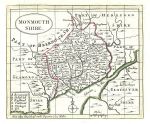
Monmouthshire map, 1786

Monmouthshire map, 1786.
"Monmouthshire" published by Francis Grose in his Antiquities of England and Wales, 1786. Originally drawn, engraved and published by John Seller around 1695, this re-issue by Grose has Seller's name removed. Printed on the top half of a page, the rest of which (and the reverse) carries a historical description of the county in letterpress. Copper engraved map with original hand colour. Good condition with plate mark and wide margins. Map size 15 x 12.5 cms plus wide margins. Ref F7687

 
« Previous | ...90 | 91 | 92 | 93 | 94 | 95 | 96 | 97 | 98 | 99 | 100... | Next »


© 2003 - 2020 Website copyright Steve Bartrick
Royalty free stock images of antique prints of interest to historians, students and family history researchers