Please see my main site ANTIQUEPRINTS.COM For original antique prints and maps
Charing Cross - 1837
Home » Antique maps » Russia, antique maps
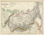
Russia in Asia, 1852. "Das Asoatische Russland ... 1849" by Joseph Meyer, published in his Neuster Zeitungs Atlas..., 1852. Steel engraved map with original hand colour. Slightly age browned, otherwise good condition with plate mark and good margins. Size 25.5 x 20 cms plus margins. Ref E3904
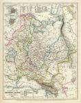
Russia in Europe, 1852. "Europaische Russland ... 1849" by Joseph Meyer, published in his Neuster Zeitungs Atlas..., 1852. Steel engraved map with original hand colour. Small inset plans of Moscow and St.Petersburg. Slightly age browned, otherwise good condition with plate mark and good margins. Size 20 x 26 cms plus margins. Ref E3903
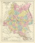
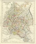
Russia in Europe & Poland, 1868. "Russia in Europe & Poland" drawn and engraved by John Archer, published in The National Encyclopedia Atlas, 1868. Lithographic map with full original hand colouring, centrefold as published. Good condition. Size 23 x 28.5 cms plus margins. Ref E3173
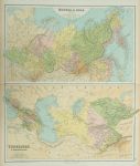
Russia in Asia and Turkestan, 1864. " Russia in Asia " and " Turkestan & Transcaucasia " by J.Bartholomew, published in Philips' Imperial Library Atlas (edited by William Hughes), London, 1864. Large chromo-lithographic map, centrefold as published. Slight soiling and edge browning. Size 52 x 60 cms. Ref E2768
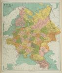
Russia in Europe, 1864. " Russia in Europe " by J.Bartholomew, published in Philips' Imperial Library Atlas (edited by William Hughes), London, 1864. Large chromo-lithographic map, with a centrefold as published. Slight soiling and edge browning. Size 51 x 61 cms. Ref E2717
Russia in Europe & Poland, College Atlas, 1850. "Russia in Europe & Poland" drawn and engraved by J.Archer, published in The College Atlas, about 1850. Steel engraved map with original outline hand colour. Centrefold as published. Good margins. Size 23 x 29 cms. Ref E2257
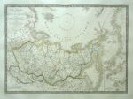
Russia in Asia, 1825. " Carte Generale de la Russie D'Asie et des Regions Polaires Boreales " by A.H.Brue, published in the Atlas Universel, about 1826 (map dated 1821.) Detailed copper engraved map with original hand colouring. Centrefold as published. Plate mark and wide margins. Size of engraved area 50 x 36 cms. Ref E1819. (Please note this is a digital camera image - the tonal variation is due to uneven lighting, for a more accurate representation of the colour and detail click here to see scanned detail from the Brue map of the Low Countries.)
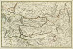
Central Asia, New Edinburgh General Atlas, 1821. " Central Asia " engraved by Kirkwoods and published by Waugh & Innes, J.Kirkwood, & Oliver & Boyd and Ogle, Duncan & Co. in the New Edinburgh General Atlas, Edinburgh & London, 1821. Copper engraved map with original hand colouring. Detail showing part of the Gobi desert. Plate mark and margins of about 1.5 cms or more, except for left marging which is just under 1 cm. Size 37.5 x 25 cms plus margins. Ref D8255
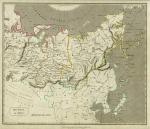
Russia in Asia, New Edinburgh General Atlas, 1821. " Russia in Asia " engraved by Kirkwoods and published by Waugh & Innes, J.Kirkwood, & Oliver & Boyd and Ogle, Duncan & Co. in the New Edinburgh General Atlas, Edinburgh & London, 1821. Copper engraved map with original hand colouring. Detail showing part of the map. Plate mark and margins of about 2 cms or more. Slight soiling and age browning. Size 33.5 x 28.5 cms plus margins. Ref D7901
Russia in Asia, G.Philip & Son, 1845. " Russia in Asia " published by George Philip & Son, Liverpool, about 1845. Lithographic map with original hand colour. Slightly age browned. Size 30 x 23 cms. Ref D5001
© 2003 - 2020 Website copyright Steve Bartrick Royalty free stock images of antique prints of interest to historians, students and family history researchers