Please see my main site ANTIQUEPRINTS.COM For original antique prints and maps
Charing Cross - 1837
Home » Antique maps » India and Sri Lanka antique maps
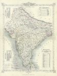
India, 1859. "British India" lithographic map based on Rapkin's map of about 10 years earlier. Published in The History of the Indian Mutiny, about 1859. With pale original outline hand colour. Slight soiling and age browning. Size 25 x 33.5 cms. Ref E6471
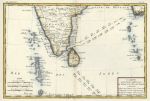
South India and Sri Lanka (Ceylon), 1780. "Carte de la Partie Inferieure de L'Inde en Deca du Gange, contenant L'Isle de Ceylan, Les Cotes de Malabar et de Coromandel .." by Bonne, published about 1780. Copper engraved map with recent hand colour. Slight browning around the edges, centre fold as published, otherwise good condition with plate mark and good margins. Size 32 x 21.5 cms plus margins. Ref E6069
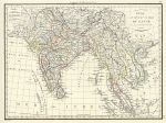
India & Indo-China, 1818. "Inde en Deca et au dela du Gange" engraved by Chamouin after P.Lapie, copper engraved map with original hand colouring, published in Lapie's Atlas Classique et Universel..., about 1815. Very good condition, with good margins. Size 30 x 22.5 cms plus margins. Ref E4274
India, 1868. "India" drawn and engraved by John Archer, published in The National Encyclopedia Atlas, 1868. Pair of lithographic maps with full original hand colouring, centrefolds as published. Size 28.5 x 23 cms each plus margins. Ref E3191
India, large map, 1864. " India " by J.Bartholomew, published in Philips' Imperial Library Atlas (edited by William Hughes), London, 1864. Chromo-lithographic maps on two large sheets, each with a centrefold as published, the southern map having an inset map of the Pegu and Arracan area. Some soiling and edge browning to each map. Size 61 x 50 cms each. Ref E2771
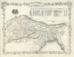
North India, Tallis, 1860. " Northern India " drawn and engraved by J.Rapkin, published by The London Printing and Publishing Company in The History of the Indian Mutiny, about 1860. Lithographic version of the original Tallis map, with original hand colouring indicating the various states. Centrefold as published. Very slight soiling, otherwise good condition with good margins. Size 33 x 25 cms. Ref E2501
India on 2 sheets, The College Atlas, 1850. " India " (north and south) drawn and engraved by J.Archer, published in The College Atlas, about 1850. Pair of steel engraved maps with original outline hand colour. Centrefolds as published, good condition with good margins. Size 29 x 23 cms each. Ref E2053
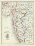
India, Bombay Diocese, Colonial Church Atlas, 1843. " Diocese of Bombay " drawn and engraved by J.Archer, published in The Colonial Church Atlas, London, 1843. Detail showing the Bombay area. Very good condition. Size 21 x 27.5 cms image area. Ref D9790
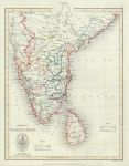
India, Madras & Ceylon Diocese, Colonial Church Atlas, 1843. " Diocese of Madras & Ceylon " drawn and engraved by J.Archer, published in The Colonial Church Atlas, London, 1843. Detail showing the Madras area. Very good condition. Size 21 x 27.5 cms image area. Ref D9789
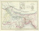
India, Calcutta Diocese, Colonial Church Atlas, 1843. " Diocese of Calcutta " drawn and engraved by J.Archer, published in The Colonial Church Atlas, London, 1843. Detail showing the Calcutta area. Very good condition. Size 27.5 x 21 cms image area. Ref D9788
© 2003 - 2020 Website copyright Steve Bartrick Royalty free stock images of antique prints of interest to historians, students and family history researchers